5:05 PM Update:
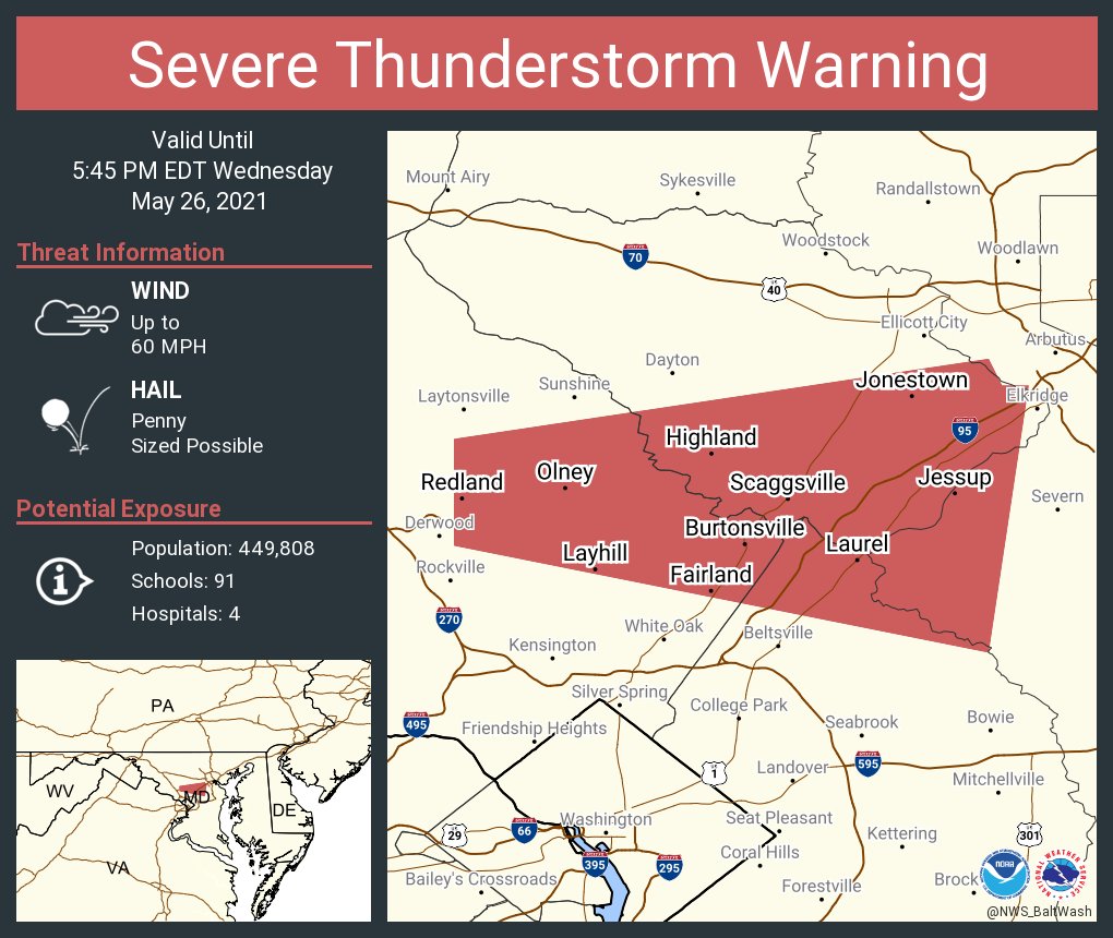
THERE IS A SEVERE THUNDERSTORM WARNING FOR MOCO, INCLUDING ONLEY AND SOUTHEASTERN MOCO. 60 MPH WIND AND PENNY SIZED HAIL IS POSSIBLE! SEEK SHELER NOW!!!
4:45 PM Update:
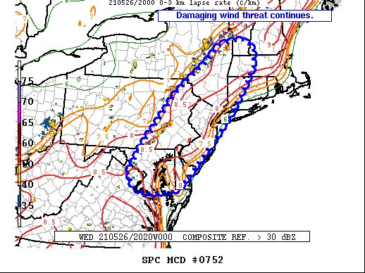
A lot has happened. There was a very dangerous storm hitting Fairfax which had 80 MPH winds and Golf Ball Sized hail. The SPC still has most of our region in the damaging wind threat.
3:25 PM Update
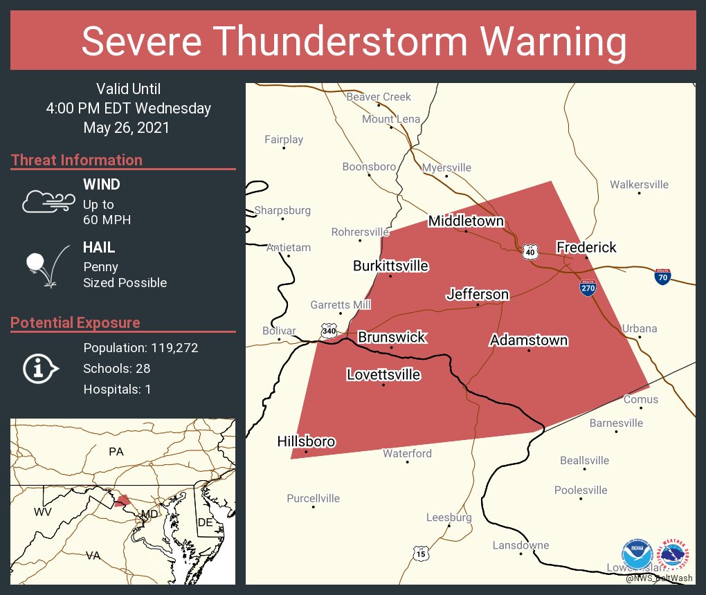
THERE IS A SEVERE THUNDERSTORM WARNING FOR FREDERICK, MD, ADAMSTOWN, MD, MIDDLETOWN, MD, BURKITTSVILLE, MD, JEFFERSON, MD, BRUNSWICK, MD, LOVETTSVILLE, VA, HILLSBORO, VA. 60 MPH WIND AND PENNY SIZED HAIL IS POSSIBLE! SEEK SHELTER IF YOU ARE IN THESE LOCATIONS RIGHT NOW!3:10 PM Update:
There is a slight risk for all of the DMV and MoCo, and almost all of Maryland as you can see above. The main threat are damaging winds and quarter-sized hail, although an isolated tornado can't be ruled out. The timing of this severe weather is between 2-10 PM EDT. Temps are supposed to be very hot today. A map from the NWS shows a good amount of our region(DMV) in the 90-95 degree temperature area. Plus, with the sun out in many places, this will help increase CAPE on the ground and within the atmosphere.
As you can see, there is a 2% chance for a tornado 25 miles away from any given point in that green area.
For the hail risk, there is a 5% chance for people to see 1" or larger hail(not include <1" hail) 25 miles away from any given point.
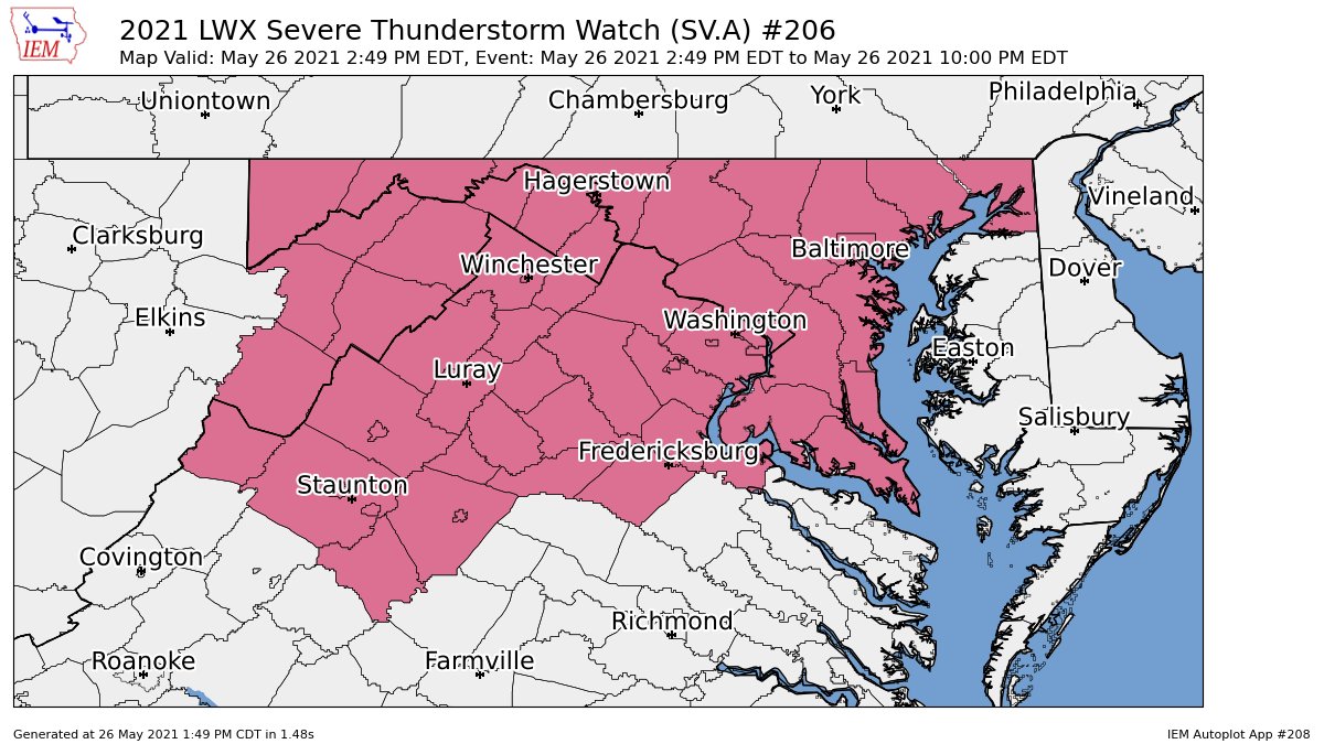
As you can see, the damaging wind chance is higher than the other severe risks. There is a 15% chance for 65+ MPH winds for the DMV 25 miles away from any given point.As you can see from this 16z HRRR sounding at 4 PM EDT, there is a decent critical angle and a good amount of MLCAPE(1300), which would be enough to cause severe weather. The dew point is good, and the temperature is hot. These are good conditions for severe weather. Lapse rates are also not too bad either. The SPC has issued a mesoscale discussion for the DMV. It states that potential for damaging winds will increase, and that a severe watch may be issued by 3 PM EDT.
As you can see, the HRRR at 4 PM EDT shows a good amount of MLCAPE throughout the region, with isolated pockets of higher MLCAPE. In those pockets, are where isolated severe weather is more likely.
At 4 PM EDT, the 16z HRRR shows some decent lift throughout the region, and where you saw isolated pockets of high(er) MLCAPE, there are also pockets of higher lapse rates. This, with the unstable air, could be enough to create updrafts and create a severe storm. At this time, there is very little shear, not anywhere near enough to be favorable for severe storms. Key Points:
- Timing 2-10 PM
- Main threat are damaging winds and hail, isolated tornado cant be ruled out
- Afternoon heating will allow for MLCAPE to rise to around 1000 j/kg, and isolated pockets of high CAPE plus lift and lapse rates may lead to the formation of storms
- A severe watch may be issued soon in the next couple of hours
- Dew points around 55-70 and temperatures will rival and beat 90 in some areas


No comments:
Post a Comment