*Note: I forgot to make a post earlier, so this is going to be a really quick and concise post, I'll update it as the day goes on and I get new info.
5:25 PM

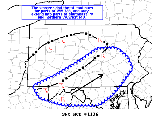
In the past 1 hour, the SPC has issued a mesoscale discussion for most of MoCo, and areas north of it. It says that the severe wind threat continues, where "The severe threat will be greatest on the southern and
eastern edges of the cold pool where temperatures in the mid/upper
90s are maintaining steep low-level lapse rates that will support
damaging winds with any stronger downbursts."
There is also a severe thunderstorm watch for counties north of MoCo, and also northwest of MoCo(does not include northern/western Loudoun county).
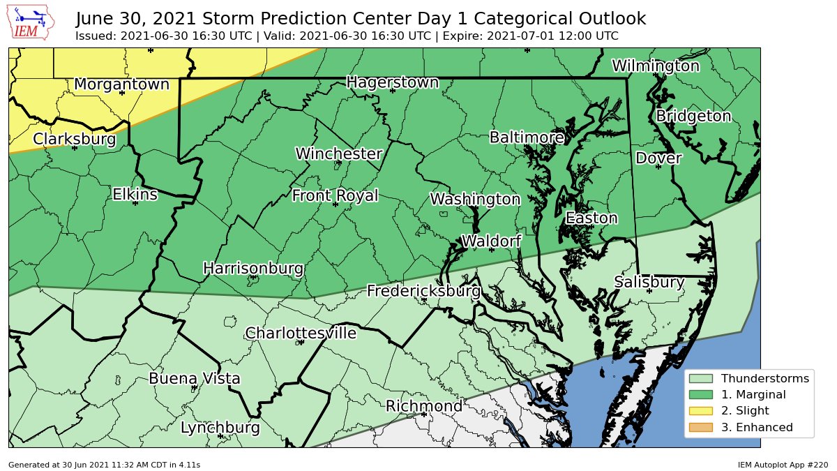
As you can see, there is a marginal risk for almost all of the DMV. Areas in the green(in the photo above) have a 5% chance of seeing 58+ MPH winds 25 miles away from any given point, and areas in the yellow have a 15% chance of seeing 58+ MPH winds 25 miles away from any given point. The main threats here are damaging winds and flooding.
There is a flash flood watch for areas east of the Blue Ridge. Total rainfall amounts of 1-3 inches, with localized amounts up to 4 inches are possible. Rainfall rates from thunderstorms may be 1-2 inches of rain per hour.


No comments:
Post a Comment