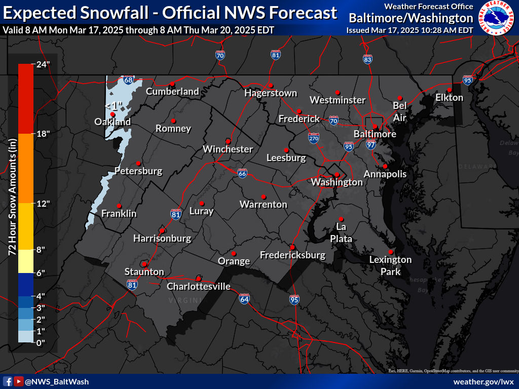
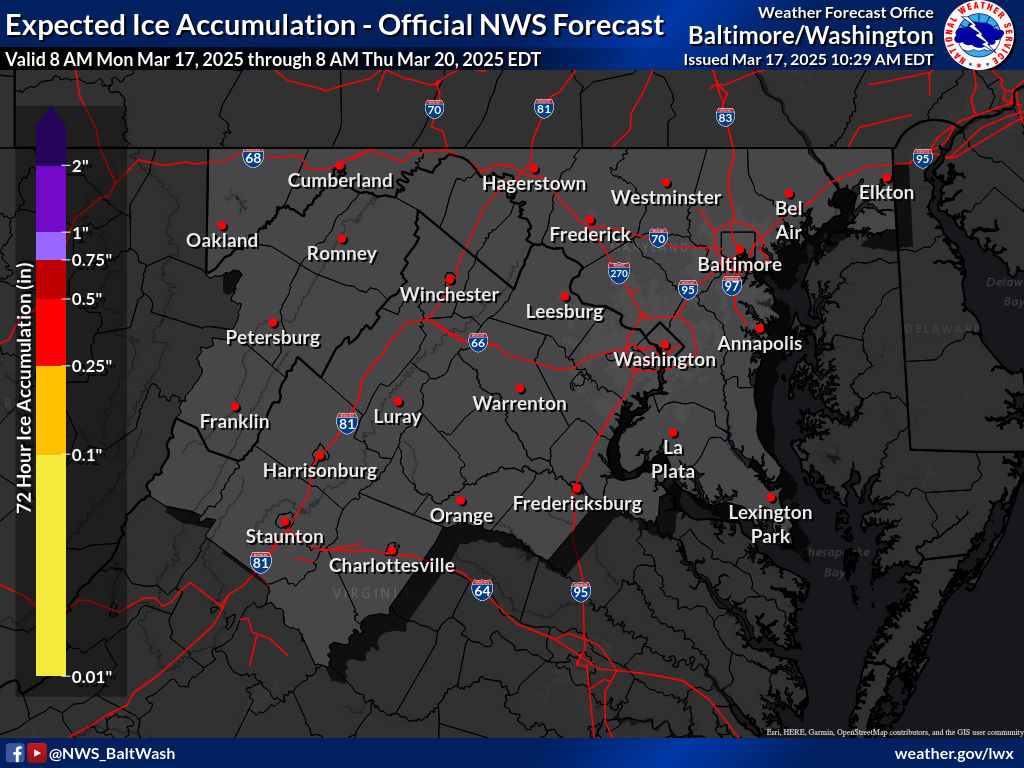
Good evening everyone! Tomorrow morning, some freezing rain, sleet, and snow is possible for our northern areas. This event will not be significant at all, and I expect minimal accumulations, up to a coating of slushy snow; with all of the (possible) accumlation on grass, with roads staying wet. Those small amounts may not even occur in the first place. A cold front pushing through this evening creates dew points below freezing, with surface temperatures in the 30s(mainly for northern areas). The event will start out as sleet or snow for northern areas, and then switch over to rain as soon as temps rise. Other than the mountains, icing/snow will not be a threat due to how warm its been recently.
These are the winter weather maps expected by the NWS:


Plume for Northern Maryland(Frederick):
This is the 0z HRRR for tomorrow. It shows an early batch of rain quickly moving through before the snow and mix arrives. When the quick batch of rain arrives, its not cold enough at the surface to support wintry precipitation, so therefore the precipitation falls as rain. However, when the heavier precipitation comes to our area, upper level temperatures are cold enough to support wintry precipitation even with mid 30s at the surface. If the snow falls at a heavy enough rate, there could be a light coating on the grass in some areas.
To conclude, a wintry mix that transistions to rain is likely if you live north of DC and I-66. It may lead to a possible slushy coating, especially in our more far northern areas. This event will not impact the roads or sidewalks, unless you travel north of the Mason-Dixon line, where WWAs are posted. Precipitation becomes less likely south of DC, and these areas will see just rain, with a very very low chance of mixing.


No comments:
Post a Comment