Good evening everyone! The models have trended for lower totals and lower QPF, however this event still shouldn't be too bad, with 2-4" still expected. I'll only be showing 3 short/medium-range models(NAM, NAM NEST, and HRRR), my snow forecast, the NWS forecast, and my snowflake prediction.
NAM NEST:

The NAM NEST(higher-res version of NAM) shows a heavy band hitting a lot of the area between 1-3 AM. NAM 3km actually looks pretty accurate to what we are seeing on radar, except that the fact that radar has the storm a bit more amped. Anyways, shows widespread 2-4", with some localized areas getting higher than that.
NAM:

The NAM shows a pretty decent solution for this storm, with 3-5" north and west of DC, and 1-3" DC and south. It shows a moderate-heavy band that hits many of the DMV, with the highest totals being north and west.
HRRR:

The HRRR shows light-moderate snow for most of the storm, with a moderate-heavy band moving through between 1-3 AM. Compared to both of the NAMs, this model is more conservative for the snow totals, with 1-3" for most of the region(some areas 2-4").
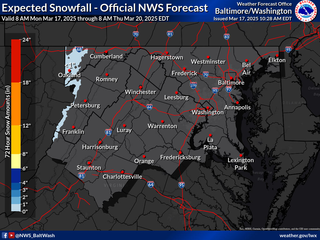
NWS Snow Forecast(forecasted, and high-end all in respective order):

My Snow Forecast:
This is my snow forecast. Latest guidance shows heavier snowfall(2-4") being reserved to north and west of DC. Most of MoCo is in the 2-4" area, except for very southern MoCo. The reason I went 1-3" was because of dry slotting, a common thing which happens in Miller Bs such as this one. The initial low pressure weakens, and the new one forms. When this happens, it allows dry air to come in, which would reduce the snow totals from this storm. Hence the 1-3" area was expanded. If you live in Northern MoCo, and any areas N & W of it, I think you should be fine for the dry slotting. Will have to watch closely.
My Snowflake Prediction:
3 snowflakes
55% chance of a closure, and a 75% chance of a delay
The reason why I think we have a good chance of closing is because of the temperature, and winds tomorrow. Temperatures will not rise above freezing for almost all of the county tomorrow, meaning that whatever stuck will stay there. Additionally, it is supposed to be windy tomorrow, and a fluffy snow is expected, meaning that blowing snow is another hazard that needs to be worried about. Even though totals are more on the lighter side, it will be more than cold enough for the snow to immediately start sticking to untreated surfaces. If we get the high-end amounts, I am more than confident in a closing. As of now, I am a bit unsure on whether to lean towards a delay, or a full-on closing. I will change the chances as new information comes in. Needless to say, I am pretty sure there will at least be a delay.


No comments:
Post a Comment