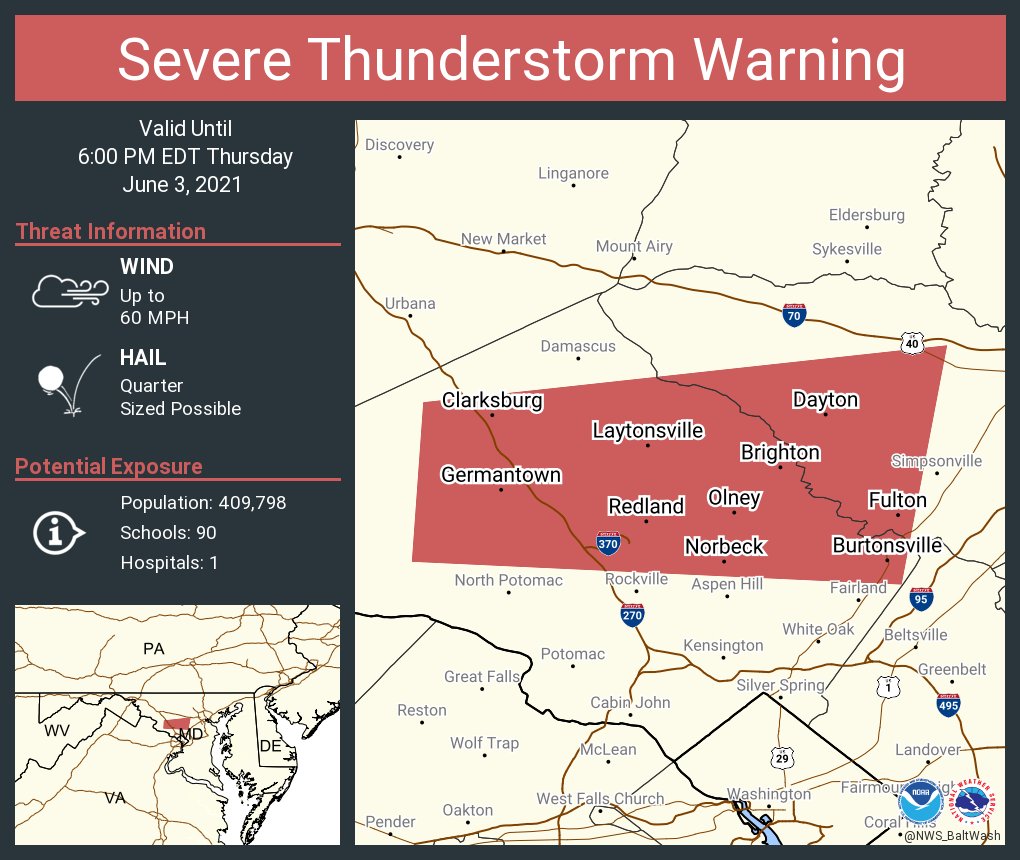
5:55 PM UPDATE:
5:45 PM UPDATE:
5:13 PM UPDATE:
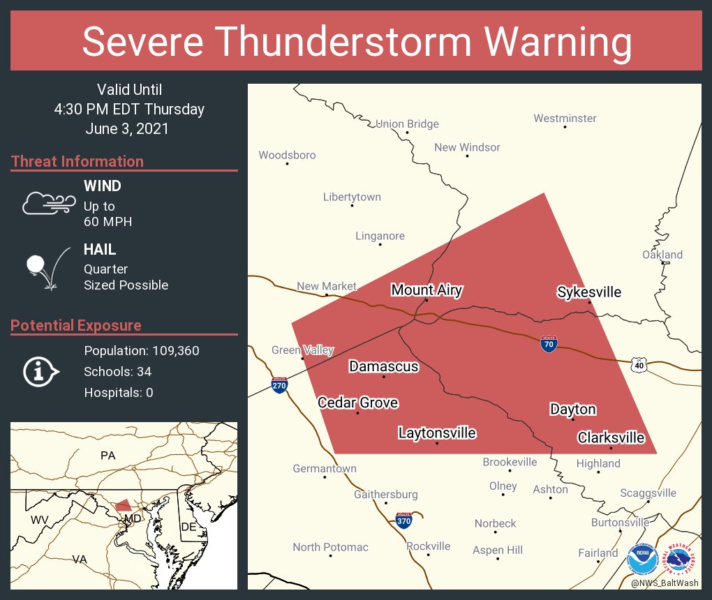
3:55 PM UPDATE:
3:53 PM UPDATE:
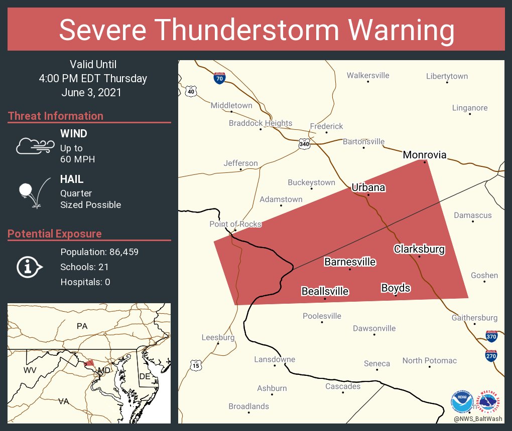
3:20 PM UPDATE:
3:15 PM UPDATE:


2:50 PM UPDATE:
2:35 PM UPDATE:
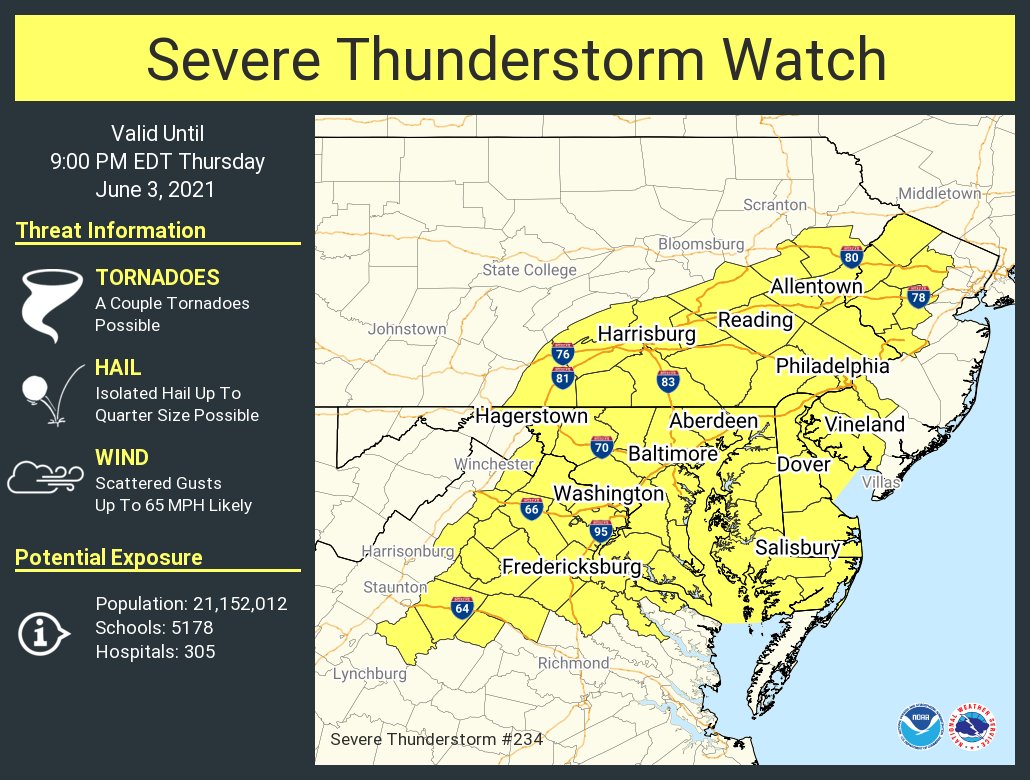
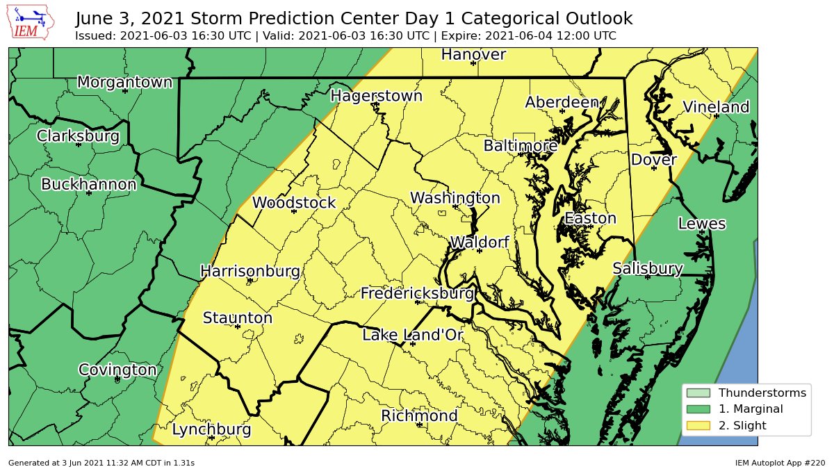
As most of you know, there is a severe weather risk today for the DMV. Not too much has changed since yesterday, and all of the DMV, including MoCo, is in a slight risk. The only major difference is that there isn't a hail risk for the northeast anymore, and the main risks are isolated tornadoes, damaging winds, and localized flash flooding. In this post, I will be looking at 2 models, the NAM 3KM and the HRRR. I will also be using mesoscale analysis from the SPC. The main timing is between 2-10 PM. MD, VA, and NC will likely have more severe weather due to the widespread clearing and higher moisture content. The SPC has us in a 2% tornado risk and a 15% wind risk.
NAM 3KM:

This is the sounding from the NAM at 4 PM EDT for Northern MoCo. It shows a critical angle of 86, which is good, and severe weather(not marginal severe). It shows 2000 MLCAPE(CAPE in atmosphere), and around 3100 CAPE at the surface. The dew point is 69, which is good as it brings moisture. Lapse rates are good, shear isn't that great, and storm relative velocity is pretty bad too. Overall, this sounding is decent for severe weather.

The NAM shows pockets of 2000+ MLCAPE(Mixed-Layer Instability) in MoCo and the DMV, and 1500-2000 MLCAPE elsewhere(generally near the pockets of 2000+ MLCAPE). This is more than enough for a severe outbreak and even tornadic activity. Jim Cantore, an official meteorologist, thinks there's a tornado risk for DC and parts of the DMV.

The NAM 3KM shows a good amount of shear in the atmosphere at 8 PM EDT. Areas in the pink are in 50-60 KT of shear, which is more than enough for a severe outbreak.
HRRR:

The HRRR(15z) shows 1000-1500 MLCAPE in the blue and 500-1000 MLCAPE in the gray. The SPC thinks that there should generally be 1000-1500 MLCAPE for areas southwest of the Mason-Dixon Line.

The HRRR shows 50-60 KT of shear in the pink areas, and 30-50 KT of shear elsewhere. This is a decent amount for a severe outbreak.

The HRRR shows a decent sounding for severe weather at 4 PM EDT. It shows around 1200 MLCAPE, 1750 surface CAPE, a good dew point, good critical angle, good lapse rates, meh shear, and an ok SRH. Overall, not too bad for severe weather.
SPC Mesoscale Analysis:

The SPC mesoscale analysis at 1:10 PM EDT shows already a decent amount of MLCAPE. 1000-1500 MLCAPE for a lot of the region, including MoCo and DC, and a pocket of 1500-2000 MLCAPE just west of DC. In our northern areas, 500-1000 MLCAPE remains.

The SPC mesoscale analysis at 1:30 PM EDT(most unstable CAPE) shows a lot of CAPE, including 2000-3000 in areas south of Frederick. In our northern areas, 1000-2000 CAPE lies.(this is most unstable by the way, MLCAPE is more important).

The SPC mesoscale analysis at 1:14 PM EDT shows 30-40 kt of shear for most of our region. This is in the range of good shear, and supercells become more likely as this number increases(surface-6km shear).
As more updates come in, I will update this post. The timing is between 2-10 PM, main threats are isolated tornadoes and damaging winds, but flash flooding is possible, slight risk for DMV, good amount of shear and MLCAPE, and be prepared for these storms.

No comments:
Post a Comment